Timsbury, Somerset
All pages needing cleanupCivil parishes in SomersetOpenDomesdaySomerset coalfieldUse British English from October 2013 ... and 2 more
Villages in Bath and North East SomersetWikipedia introduction cleanup from October 2020

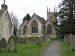
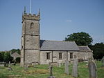
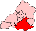
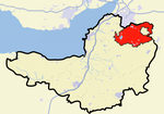
Timsbury is a village and civil parish in England, in the Bath and North East Somerset unitary authority of the county of Somerset. It lies 8 miles (13 km) south-west of Bath, close to the Cam Brook river. The parish, which includes the hamlets of Radford and Wall Mead, and part of Meadgate hamlet, had a population of 2,624 in 2011.
Excerpt from the Wikipedia article Timsbury, Somerset (License: CC BY-SA 3.0, Authors, Images).Timsbury, Somerset
Rectory Lane,
Geographical coordinates (GPS) Address Nearby Places Show on map
Geographical coordinates (GPS)
| Latitude | Longitude |
|---|---|
| N 51.3268 ° | E -2.4757 ° |
Address
Rectory Lane 6
BA2 0LB
England, United Kingdom
Open on Google Maps


