Citadel of 's-Hertogenbosch
's-HertogenboschBuildings and structures in 's-Hertogenbosch

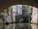
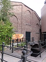
The Citadel of 's-Hertogenbosch is a fortress on the north side of the town center of 's Hertogenbosch in the Netherlands. It was constructed from 1637 to 1642.
Excerpt from the Wikipedia article Citadel of 's-Hertogenbosch (License: CC BY-SA 3.0, Authors, Images).Citadel of 's-Hertogenbosch
Diezebrug, 's-Hertogenbosch
Geographical coordinates (GPS) Address External links Nearby Places Show on map
Geographical coordinates (GPS)
| Latitude | Longitude |
|---|---|
| N 51.695277777778 ° | E 5.3033333333333 ° |
Address
Citadel van 's-Hertogenbosch
Diezebrug
5212 VJ 's-Hertogenbosch
North Brabant, Netherlands
Open on Google Maps


