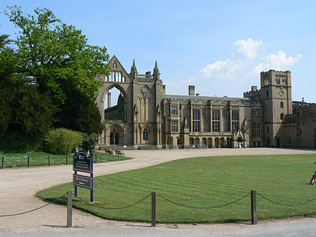
Hidden Valleys

Hidden Valleys is a name, coined in 2004, used to describe an area of interesting historical and scenic value between the city of Nottingham and the town of Mansfield in the English ceremonial county of Nottinghamshire. Promotional literature and tourist information for the Hidden Valleys were created to encourage tourism in an area that had been blighted by industrial decline. Partners in the project were: Ashfield District Council; Gedling Borough Council; the East Midlands Development Agency; Nottinghamshire County Council; and the Coalfields Regeneration Trust. It was intended by the partners that the name would help the Ashfield area compete with the Peak District and Sherwood Forest.
Excerpt from the Wikipedia article Hidden Valleys (License: CC BY-SA 3.0, Authors, Images).Hidden Valleys
Quarry Lane, Gedling
Geographical coordinates (GPS) Address Nearby Places Show on map
Geographical coordinates (GPS)
| Latitude | Longitude |
|---|---|
| N 53.06 ° | E -1.2 ° |
Address
Quarry Lane
Quarry Lane
NG15 8GA Gedling
England, United Kingdom
Open on Google Maps


