place

Mount Martha, Victoria
Suburbs of MelbourneSuburbs of the Shire of Mornington PeninsulaUse Australian English from August 2019
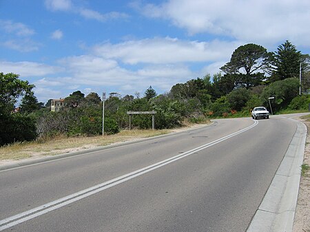
Mount Martha sign
Mount Martha sign

Mount Martha is a suburb on the Mornington Peninsula in Melbourne, Victoria, Australia, 50 kilometres (31 mi) south-east of Melbourne's Central Business District, located within the Shire of Mornington Peninsula local government area. Mount Martha recorded a population of 19,746 at the 2021 census.Mount Martha is located on the southeastern shores of Port Phillip and offers a bathing beach. A boardwalk winds its way for more than 5 kilometres (3 mi) along the Balcombe Creek, its North beach mouth to the Briars Historic Park. The suburb's highest point bears the area's name and reaches 160 metres (520 ft). The peak was named in 1836 after Captain William Hobson's mother, Martha Jones.It marks the start of the Selwyn fault, a geological formation that runs to the eastern Dandenong Ranges.

Excerpt from the Wikipedia article Mount Martha, Victoria (License: CC BY-SA 3.0, Authors, Images).

Mount Martha, Victoria
Henley Avenue, Melbourne Mount Martha

Geographical coordinates (GPS) Address Nearby Places
placeShow on map

Wikipedia: Mount Martha, VictoriaContinue reading on Wikipedia

Geographical coordinates (GPS)

Latitude Longitude
N -38.267 ° E 145.018 °
placeShow on map

Address

Henley Avenue

Henley Avenue
3934 Melbourne, Mount Martha
Victoria, Australia
mapOpen on Google Maps

Mount Martha sign
Mount Martha sign
Share experience

Nearby Places

Safety Beach, Victoria

Safety Beach is a seaside town in Metropolitan Melbourne on the Mornington Peninsula, Victoria, Australia. Its local government area is the Shire of Mornington Peninsula. At the 2016 census, Safety Beach had a population of 4,821. Safety Beach occupies slightly less than half the area of land between the foothills of Mount Martha and Arthurs Seat and borders Port Philip Bay to its west. Martha Cove is a large inland harbour and residential development in Safety Beach. It was named after its location in the cove at the foot of Mount Martha. The project, which began in 2004, was initially heavily protested by residents. After experiencing considerable financial difficulties, Martha Cove recovered and became a thriving residential community. Golfers play at the course of the Mount Martha Valley Golf Club on Country Club Drive, or at the Safety Beach Golf Course nearby.Shark Bay was the former name of Safety Beach. The scent from cattle farms nestled in the area attracted many sharks to the site. Mornington Peninsula Shire later changed the name to Safety Beach. Many tourists feared swimming in ‘Shark Bay’ for obvious reasons even after the farms were shut down and shark sightings had decreased which now as we know it is named Safety Beach, an attempt to draw tourists to the area, and it worked. Now there are over 100 beach/bathing boxes located on the beach, accommodating thousands of tourists a year. It was a breeding area for grey Nurse sharks in the 1950s and 1960s on the right side of the area towards Mount Martha and although they posed no threat many people would not swim because of the sightings and its subsequent name "Shark Bay". As it also had shallow sand bars, the suggestion was made to change it to "Safety Beach" by the local life savers and council. It was changed around 1963.