Tecoma, Victoria

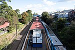
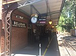
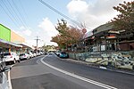
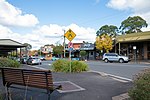
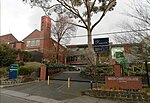
Tecoma is a suburb in Melbourne, Victoria, Australia, 35 km east from Melbourne's central business district and 1 km west of Belgrave, located within the Shire of Yarra Ranges local government area. Tecoma recorded a population of 2,064 at the 2021 census.The suburb is named after the shrub Tecoma that grew in the area when the need was identified for a railway station for the timber mill that occupied the site where Tecoma Primary School now stands. The Post Office opened on 7 January 1929, closing in 1976.Tecoma is a small suburb, nestled between Belgrave and Upwey, adjoining Sherbrooke Forest to the north. It is historically recognised as a foothill township of the Dandenong Ranges, an area of cultural significance and biodiversity.
Excerpt from the Wikipedia article Tecoma, Victoria (License: CC BY-SA 3.0, Authors, Images).Tecoma, Victoria
Fohlensteige, Gemeindeverwaltungsverband Bad Urach
Geographical coordinates (GPS) Address Nearby Places Show on map
Geographical coordinates (GPS)
| Latitude | Longitude |
|---|---|
| N -37.906 ° | E 145.344 ° |
Address
Fohlensteige
Fohlensteige
72574 Gemeindeverwaltungsverband Bad Urach
Baden-Württemberg, Deutschland
Open on Google Maps

