St Dunstan's Well Catchment
Caves of the Mendip HillsGeology of SomersetSites of Special Scientific Interest in SomersetUse British English from November 2015
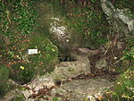
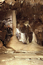
St. Dunstan's Well Catchment (grid reference ST668475) is a Site of Special Scientific Interest, covering 39.8 hectares (98.3 acres) near Stoke St Michael in the Mendip Hills, Somerset, England. The site was notified in 1967. It is of both geological and biological significance. Formerly known as Stoke St Michael Slocker, it contains nine SSSI units consisting of rock and calcareous grassland.
Excerpt from the Wikipedia article St Dunstan's Well Catchment (License: CC BY-SA 3.0, Authors).St Dunstan's Well Catchment
Bector Lane, Mendip Stoke St Michael
Geographical coordinates (GPS) Address Nearby Places Show on map
Geographical coordinates (GPS)
| Latitude | Longitude |
|---|---|
| N 51.2257 ° | E -2.4768 ° |
Address
Stoke Lane Slocker
Bector Lane
BA3 5WP Mendip, Stoke St Michael
England, United Kingdom
Open on Google Maps


