Bristol Road
Bristol RoadEngland road stubsStreets in Gloucester

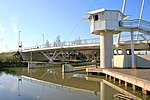
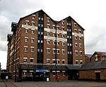
Bristol Road in the City of Gloucester dates from the medieval period. It runs between Southgate Street in the north and Quedgeley in the south where it joins the Bath Road and the A38. It contains a number of listed buildings and other notable structures.
Excerpt from the Wikipedia article Bristol Road (License: CC BY-SA 3.0, Authors, Images).Bristol Road
Bristol Road, Gloucester Linden
Geographical coordinates (GPS) Address Nearby Places Show on map
Geographical coordinates (GPS)
| Latitude | Longitude |
|---|---|
| N 51.853047222222 ° | E -2.2552111111111 ° |
Address
Bristol Road
Bristol Road
GL1 5TA Gloucester, Linden
England, United Kingdom
Open on Google Maps


