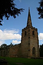
Donisthorpe railway station
Disused railway stations in LeicestershireFormer London and North Western Railway stationsFormer Midland Railway stationsPages with no open date in Infobox stationRailway stations in Great Britain closed in 1931 ... and 3 more
Railway stations in Great Britain opened in 1874Use British English from January 2019Wikipedia page with obscure subdivision

Donisthorpe railway station is a disused railway station that formerly served the village of Donisthorpe, North West Leicestershire, from 1874 to 1931. The station was on the Ashby and Nuneaton Joint Railway. The site has since been filled in and is now a footpath to Measham and Moira. The only trace of the former railway is the footpath to Measham.
Excerpt from the Wikipedia article Donisthorpe railway station (License: CC BY-SA 3.0, Authors, Images).Donisthorpe railway station
Church Street, North West Leicestershire Oakthorpe and Donisthorpe
Geographical coordinates (GPS) Address Nearby Places Show on map
Geographical coordinates (GPS)
| Latitude | Longitude |
|---|---|
| N 52.7223 ° | E -1.5337 ° |
Address
Donisthorpe
Church Street
DE12 7PX North West Leicestershire, Oakthorpe and Donisthorpe
England, United Kingdom
Open on Google Maps


