University District (Columbus, Ohio)
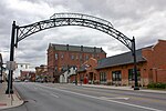
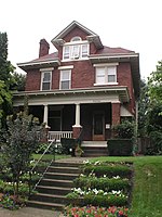
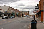
The University District (or University Area), is a 2.8-square-mile (7.3 km2) area located 2 miles (3.2 km) north of Downtown Columbus, Ohio that is home to the main campus of Ohio State University, the Battelle Institute, and Wexner Medical Center. It is generally accepted as the area bounded to the north by Clintonville at Glen Echo Ravine; to the south by the Short North at 5th Avenue; to the west by the Olentangy River and to east by the Conrail railroad tracks. Points of interest include, but are not limited to, the Ohio Stadium and Old North Columbus. The district is Columbus' most densely populated area and contains more than 650 businesses, human service agencies, churches, and schools. University District businesses include boutiques, mixed retail, several tattoo studios, the Gateway Film Center, and a diverse range of restaurants and bars.
Excerpt from the Wikipedia article University District (Columbus, Ohio) (License: CC BY-SA 3.0, Authors).University District (Columbus, Ohio)
North Pearl Street, Columbus
Geographical coordinates (GPS) Address Nearby Places Show on map
Geographical coordinates (GPS)
| Latitude | Longitude |
|---|---|
| N 40.011389 ° | E -83.009444 ° |
Address
North Pearl Street 2416
43201 Columbus
Ohio, United States
Open on Google Maps


