Fladungen

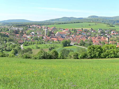
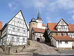
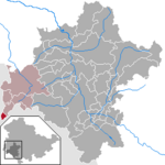
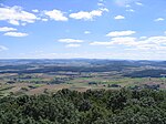
Fladungen is a town in the Rhön-Grabfeld district, in Bavaria, Germany. It is situated in the Rhön Mountains, 11 km northwest of Ostheim, 20 km west of Meiningen, and 33 km east of Fulda. It is the northernmost town in Bavaria, bordering Hesse to the northwest and Thuringia to the northeast. Fladungen lies at the southern edge of the Rhön Mountains, and the Rhön Biosphere Reserve begins a few kilometers outside of town. It is at the head of the river Streu, which flows southeast through it to join the Franconian Saale near Bad Neustadt. The region around the town is popular for hiking and cycling, especially in the summer and early autumn. The town is a service center for the surrounding agricultural region. There are also some small industries, including a cement factory and a biogas plant. The 2021 population was estimated at about 2,200.
Excerpt from the Wikipedia article Fladungen (License: CC BY-SA 3.0, Authors, Images).Fladungen
Ludwigstraße, Fladungen (VGem)
Geographical coordinates (GPS) Address Nearby Places Show on map
Geographical coordinates (GPS)
| Latitude | Longitude |
|---|---|
| N 50.521111111111 ° | E 10.145277777778 ° |
Address
Ludwigstraße 18
97650 Fladungen (VGem)
Bavaria, Germany
Open on Google Maps


