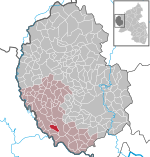
Bollendorf
Bitburg-PrümBitburg-Prüm geography stubsGermany–Luxembourg border crossingsMunicipalities in Rhineland-Palatinate

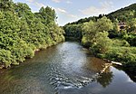
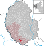
Bollendorf is a German municipality in the state of Rhineland-Palatinate, located on the left bank of the Sauer river, opposite the Luxembourgish town of Bollendorf-Pont.
Excerpt from the Wikipedia article Bollendorf (License: CC BY-SA 3.0, Authors, Images).Bollendorf
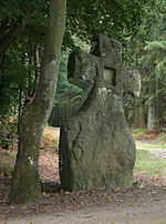
Kirchstraße, Südeifel
Geographical coordinates (GPS) Address Nearby Places Show on map
Geographical coordinates (GPS)
| Latitude | Longitude |
|---|---|
| N 49.853055555556 ° | E 6.3616666666667 ° |
Address
Friedhof
Kirchstraße
54669 Südeifel
Rhineland-Palatinate, Germany
Open on Google Maps

