Locking, Somerset

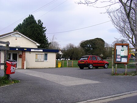
Locking is a village and civil parish in Somerset, England. It is a predominantly quiet residential area of North Somerset, 3.5 miles (5.6 km) south east of the town of Weston-super-Mare. As well as a pub and church the village has a village hall, school (Locking Primary School), a small shop and post office, a hairdressers, a Chinese takeaway, a pet care shop, florist, pharmacy, cafe and petrol service station comprising car sales and a mechanical workshop. The village gave its name to RAF Locking, which has now closed and proposals are under consideration for an employment and residential development for the site that could deliver 25 hectare (62 acres) of employment space and up to 1,800 new homes. In July 2011, North Somerset Council gave planning permission for the £50 million LeisureDome to be constructed on the site. It will contain a 210-metre (690 ft) indoor ski slope, other leisure facilities and a number of shops and restaurants.
Excerpt from the Wikipedia article Locking, Somerset (License: CC BY-SA 3.0, Authors, Images).Locking, Somerset
Old Banwell Road,
Geographical coordinates (GPS) Address Nearby Places Show on map
Geographical coordinates (GPS)
| Latitude | Longitude |
|---|---|
| N 51.3309 ° | E -2.9108 ° |
Address
Old Banwell Road 24
BS24 8BS
England, United Kingdom
Open on Google Maps


