Maywood, Burnaby
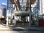
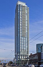
Maywood is a mainly-rental low-income residential neighborhood in Burnaby, and is a part of the larger Metrotown area. The neighborhood consists of low-rise apartments built during the population boom in the Metrotown area in the 1970s, and 1980s, although the neighborhood is quickly changing. Geographically, the Maywood neighbourhood's boundaries are Grange Street and Kingsway to the north, Nelson Avenue and Bennett and Bonsor Streets to the east, Imperial Street to the south and Boundary Road to the west, and it includes Central Park. According to the 2006 census Maywood has 15,390 people, and is a fast growing immigrant neighbourhood. Maywood takes its name from the elementary school located within it. Maywood also has a large Filipino Canadian population.
Excerpt from the Wikipedia article Maywood, Burnaby (License: CC BY-SA 3.0, Authors).Maywood, Burnaby
Beresford Street, Burnaby Metrotown
Geographical coordinates (GPS) Address Nearby Places Show on map
Geographical coordinates (GPS)
| Latitude | Longitude |
|---|---|
| N 49.227 ° | E -123.008 ° |
Address
Beresford Street 4360
V5H 2C0 Burnaby, Metrotown
British Columbia, Canada
Open on Google Maps


