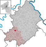
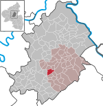
Gossberg (Hunsrück)
Air raid sheltersBunkers in GermanyCold War sites in GermanyInstallations of the United States Air Force in GermanyMountains and hills of Rhineland-Palatinate ... and 3 more
Mountains and hills of the HunsrückMountains under 1000 metresNuclear bunkers in Europe
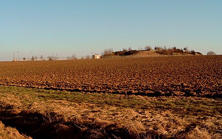
The Gossberg (German: Goßberg) is a hill with the highest point of 483 m in the municipality of Wüschheim close to the border with Hundheim in the district of Rhein-Hunsrück-Kreis in the low mountain range of Hunsrück in the state of Rhineland-Palatinate, Germany. The summit was excavated 30 m deep in the period of 1984–1989 and transformed into the NBC (Nuclear, Biological, Chemical) bunker operated by U.S. Forces to serve as a fortified center of highly-secure communication among all NATO troops in Europe and a potential missile launch control center for the nearby missile base Pydna in case of anticipated (at that time) World War III.
Excerpt from the Wikipedia article Gossberg (Hunsrück) (License: CC BY-SA 3.0, Authors, Images).Gossberg (Hunsrück)
K 22, Simmern-Rheinböllen
Geographical coordinates (GPS) Address Nearby Places Show on map
Geographical coordinates (GPS)
| Latitude | Longitude |
|---|---|
| N 50.0191 ° | E 7.4225 ° |
Address
Bunker Goßberg
K 22
55471 Simmern-Rheinböllen
Rhineland-Palatinate, Germany
Open on Google Maps
