Chinley, Buxworth and Brownside

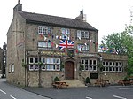
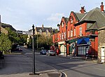
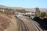
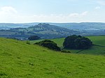
Chinley, Buxworth and Brownside is a civil parish within the High Peak district, which is in the county of Derbyshire, England. Partially rural with several villages contained within, its population was 2,794 residents in the 2021 census. The parish is 150 miles (240 km) north west of London, 35 miles (56 km) north west of the county city of Derby, and 1+1⁄3 miles (2.1 km) north of the nearest market town of Chapel-en-le-Frith. Being close to the edge of the county border, it shares a boundary with the parishes of Chapel-en-le-Frith, Edale, Hayfield, New Mills and Whaley Bridge. A substantial portion of the parish is within the Peak District national park.
Excerpt from the Wikipedia article Chinley, Buxworth and Brownside (License: CC BY-SA 3.0, Authors, Images).Chinley, Buxworth and Brownside
Alders Lane, High Peak Chinley, Buxworth and Brownside
Geographical coordinates (GPS) Address Nearby Places Show on map
Geographical coordinates (GPS)
| Latitude | Longitude |
|---|---|
| N 53.347 ° | E -1.932 ° |
Address
Alders Lane
Alders Lane
SK23 6DP High Peak, Chinley, Buxworth and Brownside
England, United Kingdom
Open on Google Maps


