Villaluenga del Rosario
Andalusia geography stubsMunicipalities of the Province of Cádiz

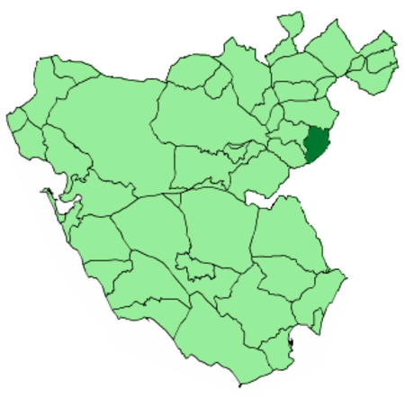
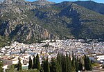
Villaluenga del Rosario is a village located in the province of Cádiz, Spain. According to the 2005 census, the city has a population of 481 inhabitants. It is located down Navazo Alto mountain, within the Sierra de Grazalema Natural Park. The village is famous for its payoyo cheese, first produced in 1996 from the milk of the local, endangered Payoya goat.
Excerpt from the Wikipedia article Villaluenga del Rosario (License: CC BY-SA 3.0, Authors, Images).Villaluenga del Rosario
Camino de la Glorieta,
Geographical coordinates (GPS) Address Nearby Places Show on map
Geographical coordinates (GPS)
| Latitude | Longitude |
|---|---|
| N 36.7 ° | E -5.3833333333333 ° |
Address
Camino de la Glorieta
Camino de la Glorieta
11611
Andalusia, Spain
Open on Google Maps


