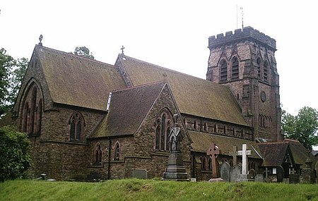
Hartford, Cheshire

Hartford is a village and civil parish in the unitary authority of Cheshire West and Chester and the ceremonial county of Cheshire, England. It lies at the intersection of the A559 road and the West Coast Main Line (between Liverpool and Crewe) and is less than 2 miles (3.2 km) south west of the town of Northwich. It forms part of the Weaver Vale parliamentary constituency. According to the 2011 Census, the population of the parish was 5,558.Hartford is situated in the Cheshire Plain to the south west of the town of Northwich, and is surrounded by the parishes of Weaverham to the north, Kingsmead and Davenham to the east, Whitegate and Marton to the south and Cuddington to the west.
Excerpt from the Wikipedia article Hartford, Cheshire (License: CC BY-SA 3.0, Authors, Images).Hartford, Cheshire
Walnut Lane,
Geographical coordinates (GPS) Address Nearby Places Show on map
Geographical coordinates (GPS)
| Latitude | Longitude |
|---|---|
| N 53.245 ° | E -2.549 ° |
Address
Walnut Lane
Walnut Lane
CW8 1QN
England, United Kingdom
Open on Google Maps


