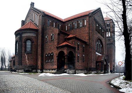
Ruda, Ruda Śląska
Districts of Ruda ŚląskaSilesian geography stubs

Ruda (German: Ruda) is a district in the north-west of Ruda Śląska, Silesian Voivodeship, southern Poland. It has an area of 11.9 km2 and in 2006 it was inhabited by 23,134 people.
Excerpt from the Wikipedia article Ruda, Ruda Śląska (License: CC BY-SA 3.0, Authors, Images).Ruda, Ruda Śląska
Kościelna, Ruda Śląska Ruda (Ruda)
Geographical coordinates (GPS) Address Nearby Places Show on map
Geographical coordinates (GPS)
| Latitude | Longitude |
|---|---|
| N 50.311666666667 ° | E 18.851388888889 ° |
Address
Kościelna
41-700 Ruda Śląska, Ruda (Ruda)
Silesian Voivodeship, Poland
Open on Google Maps


