Broomhill and Sharrow Vale
Use British English from October 2019Wards of Sheffield

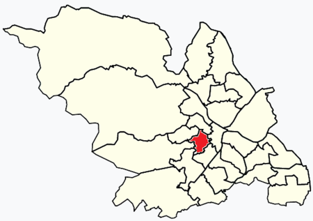
Broomhill and Sharrow Vale — which includes the districts of Broomhill, Broomhall, Crookesmoor, Endcliffe, Sharrow Vale and Tapton Hill — is one of the 28 electoral wards in City of Sheffield, England. The ward was created following the 2015 local government boundary review out of parts of the old Broomhill, Central and Nether Edge wards. It is located in the western part of the city. The population of the Broomhill ward in 2011 was 16,966 people in 5,708 households, covering an area of 2.7 km2. Broomhill & Sharrow Vale is one of the wards that make up the Sheffield Central Parliamentary Constituency.
Excerpt from the Wikipedia article Broomhill and Sharrow Vale (License: CC BY-SA 3.0, Authors, Images).Broomhill and Sharrow Vale
Ashgate Lane, Sheffield Broomhill
Geographical coordinates (GPS) Address Nearby Places Show on map
Geographical coordinates (GPS)
| Latitude | Longitude |
|---|---|
| N 53.376775 ° | E -1.502273 ° |
Address
Ashgate Lane
Ashgate Lane
S10 3BZ Sheffield, Broomhill
England, United Kingdom
Open on Google Maps


