Pollokshaws

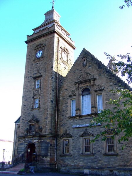
Pollokshaws (Scots: Powkshaws) is an area on the South side of the city of Glasgow, Scotland. It is bordered by the residential neighbourhoods of Auldhouse to the east, Eastwood and Hillpark to the south and Shawlands to the north, with the Glasgow South Western Line railway and the open lands of Pollok Country Park to the west. The White Cart Water flows through the area.The housing stock consists of some sandstone tenement housing, modern brick tenement-style buildings, low-rise social housing and high rise/multi-storey tower blocks. Previously eight tower blocks stood in an area known as the Shawbridge Corridor; the last of these blocks was demolished in March 2016. Four other tower blocks remain, near Pollokshaws East railway station. According to the 2001 Census, Pollokshaws had a population of 4,295. Its residents are a mixture of working class and middle class social groups, and the area also had a large South Asian community.
Excerpt from the Wikipedia article Pollokshaws (License: CC BY-SA 3.0, Authors, Images).Pollokshaws
Allée Waslaw Nijinsky, Paris Paris 4e Arrondissement (Paris)
Geographical coordinates (GPS) Address Website Nearby Places Show on map
Geographical coordinates (GPS)
| Latitude | Longitude |
|---|---|
| N 55.825183 ° | E -4.294727 ° |
Address
Tour Saint-Jacques
Allée Waslaw Nijinsky
75004 Paris, Paris 4e Arrondissement (Paris)
Île-de-France, Frankreich
Open on Google Maps


