RAF Manywells Height

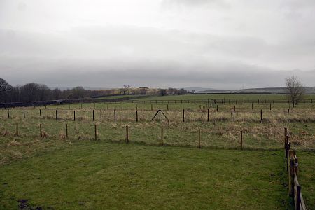
Royal Air Force Manywells Height (also known as Royal Flying Corps Manywells Height, Royal Flying Corps Cullingworth and Royal Air Force Cullingworth) was a grassed airstrip in use as Home Defence during the First World War. The site was just south of the village of Cullingworth which is south of Keighley and north west of Bradford in West Yorkshire. It was considered as a civilian airfield for West Yorkshire on decommissioning, but Yeadon became the hub of civilian flights as Leeds Bradford International Airport. It was used by aircraft from 1913 and commissioned as an airfield by the Royal Flying Corps in 1916 with closure by the Royal Air Force (its eventual owner) in 1919. Whilst it was used in 1919 in a civilian capacity, it was abandoned in that same year.
Excerpt from the Wikipedia article RAF Manywells Height (License: CC BY-SA 3.0, Authors, Images).RAF Manywells Height
Doll Lane, Bradford Cullingworth
Geographical coordinates (GPS) Address Nearby Places Show on map
Geographical coordinates (GPS)
| Latitude | Longitude |
|---|---|
| N 53.816444444444 ° | E -1.9021666666667 ° |
Address
Doll Lane
Doll Lane
BD13 5BN Bradford, Cullingworth
England, United Kingdom
Open on Google Maps


