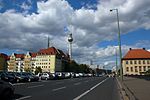
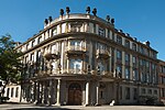
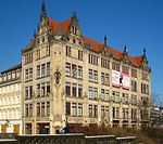
Fischerinsel
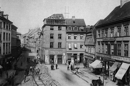
Fischerinsel (German: [ˈfɪʃɐˌʔɪnzl̩], Fisher Island) is the southern part of the island in the River Spree which was formerly the location of the city of Cölln and is now part of central Berlin. The northern part of the island is known as Museum Island. Fischerinsel is normally said to extend south from Gertraudenstraße and is named for a fishermen's settlement which formerly occupied the southern end of the island. Until the mid-twentieth-century it was a well preserved pre-industrial neighbourhood, and most of the buildings survived World War II, but in the 1960s and 1970s under the German Democratic Republic it was levelled and replaced with a development of residential tower blocks.
Excerpt from the Wikipedia article Fischerinsel (License: CC BY-SA 3.0, Authors, Images).Fischerinsel
Fischerinsel, Berlin Mitte
Geographical coordinates (GPS) Address Nearby Places Show on map
Geographical coordinates (GPS)
| Latitude | Longitude |
|---|---|
| N 52.513055555556 ° | E 13.406666666667 ° |
Address
Deutsches Rotes Kreuz
Fischerinsel
10179 Berlin, Mitte
Germany
Open on Google Maps

