Toft, Cheshire
Cheshire geography stubsCivil parishes in CheshireVillages in Cheshire

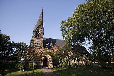
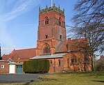
Toft is a village and civil parish in the unitary authority of Cheshire East and the ceremonial county of Cheshire, England. It is located immediately to the south of Knutsford and is split by the A50 road to more southern Holmes Chapel. The village comprises several farms and a small picturesque church. The parish has a population of only 81, and shares a parish council with the neighbouring parishes of Plumley and Bexton. At the 2011 Census the population of the civil parish remained less than 100. Details are included in the civil parish of Peover Inferior.
Excerpt from the Wikipedia article Toft, Cheshire (License: CC BY-SA 3.0, Authors, Images).Toft, Cheshire
Holmes Chapel Road,
Geographical coordinates (GPS) Address Nearby Places Show on map
Geographical coordinates (GPS)
| Latitude | Longitude |
|---|---|
| N 53.284899 ° | E -2.368944 ° |
Address
Holmes Chapel Road
Holmes Chapel Road
WA16 9PE , Toft
England, United Kingdom
Open on Google Maps


