Beranang
Hulu Langat DistrictMukims of SelangorSelangor geography stubsTowns in Selangor

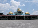
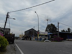
Beranang (Chinese: 峇玲瓏) is a town and a mukim in Hulu Langat District, Selangor, Malaysia.
Excerpt from the Wikipedia article Beranang (License: CC BY-SA 3.0, Authors, Images).Beranang
Kajang Municipal Council
Geographical coordinates (GPS) Address Nearby Places Show on map
 Continue reading on Wikipedia
 Geographical coordinates (GPS)
| Latitude | Longitude |
|---|---|
| N 2.8833333333333 ° | E 101.86666666667 ° |
Address
71750 Kajang Municipal Council
Malaysia
Open on Google Maps