Heaton, Staffordshire
Civil parishes in StaffordshireStaffordshire MoorlandsVillages in Staffordshire

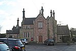
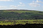
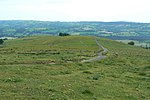
Heaton is a small village and civil parish in Staffordshire, England. It is about 4 miles (6.4 km) north of Leek and about 7 miles (11 km) south of Macclesfield. The village of Heaton is situated near the centre of the civil parish. The River Dane is the northern boundary with Cheshire; the civil parishes of Rushton and Leekfrith are to the west and east. A hill named Gun is at the eastern boundary, and in the north-east is Swythamley Hall. The ground is of boulder clay, and the underlying rock is millstone grit. The soil is loam and clay. The land is used mostly as pasture.
Excerpt from the Wikipedia article Heaton, Staffordshire (License: CC BY-SA 3.0, Authors, Images).Heaton, Staffordshire
Sugar Street, Staffordshire Moorlands
Geographical coordinates (GPS) Address Nearby Places Show on map
Geographical coordinates (GPS)
| Latitude | Longitude |
|---|---|
| N 53.1608 ° | E -2.0755 ° |
Address
Sugar Street
Sugar Street
SK11 0RD Staffordshire Moorlands
England, United Kingdom
Open on Google Maps


