Banks, Lancashire

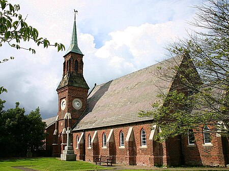
Banks is a large coastal village in Lancashire, England, south of the Ribble estuary four miles (6 km) north-east of Southport. The village is administered by West Lancashire Borough and North Meols Parish Council. It is in the South Ribble parliamentary constituency. At the 2001 census the population of the North Meols civil parish was 3,792, rising to 4,146 by the 2011 census.Banks is the largest village in the parish of North Meols on the West Lancashire coastal plain. It was primarily an agricultural community due to the excellent soil, although there was fishing activity for many years. Production of flowers and vegetables is common on the farms surrounding the village. The proximity of Southport and Preston have led to its expansion as a dormitory for commuters.
Excerpt from the Wikipedia article Banks, Lancashire (License: CC BY-SA 3.0, Authors, Images).Banks, Lancashire
Skylark Close, West Lancashire North Meols
Geographical coordinates (GPS) Address Nearby Places Show on map
Geographical coordinates (GPS)
| Latitude | Longitude |
|---|---|
| N 53.683 ° | E -2.917 ° |
Address
Skylark Close
Skylark Close
PR9 8GW West Lancashire, North Meols
England, United Kingdom
Open on Google Maps


