Hohe Derst
Südliche WeinstraßeSüdliche Weinstraße geography stubs

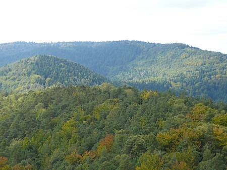
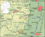
The Hohe Derst is a hill, 561 metres above sea level, in the Palatine Forest of southwest Germany. It lies within the Wasgau region and is the highest point of the Mundat Forest.
Excerpt from the Wikipedia article Hohe Derst (License: CC BY-SA 3.0, Authors, Images).Hohe Derst
Franzosenpfad, Bad Bergzabern
Geographical coordinates (GPS) Address Nearby Places Show on map
Geographical coordinates (GPS)
| Latitude | Longitude |
|---|---|
| N 49.086094 ° | E 7.913933 ° |
Address
Ritterstein 27 "Signal"
Franzosenpfad
76887 Bad Bergzabern
Rhineland-Palatinate, Germany
Open on Google Maps


