Mundat Forest

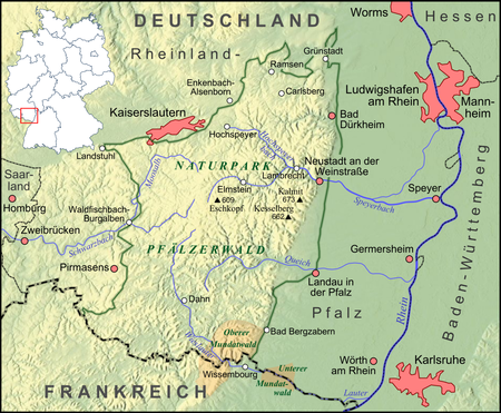
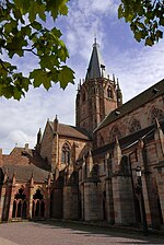
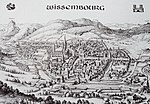
The term 'Mundat Forest' refers to two forests that overlie the modern border between Germany and France near Wissembourg, Alsace. The Upper Mundat Forest is a small part of the mountainous Palatinate Forest. The smaller Lower Mundat Forest forms a fraction of the Bienwald in the Upper Rhine valley. In the Middle Ages the forests were part of the Wissembourg Mundat, the privileged possessions of the abbey of Weissenburg (now Wissembourg), whose abbot was a territorial magnate, a Prince-abbot of the Holy Roman Empire. The unusual term, Mundat, refers to the immunity (emunitas) granted by the royal conveyor of property, which rendered the abbey immune from obligations of service for the grant of vast privileged domains situated within the diocese of Speyer.
Excerpt from the Wikipedia article Mundat Forest (License: CC BY-SA 3.0, Authors, Images).Mundat Forest
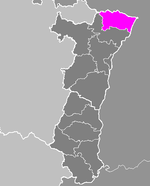
Haguenau-Wissembourg
Geographical coordinates (GPS) Address Nearby Places Show on map
Geographical coordinates (GPS)
| Latitude | Longitude |
|---|---|
| N 49.04 ° | E 7.91 ° |
Address
67160 Haguenau-Wissembourg
Grand Est, France
Open on Google Maps


