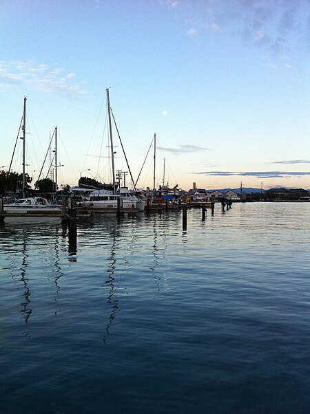
Kewalo Basin
Geography of HonoluluHawaii geography stubsHonolulu stubsPorts and harbors of Hawaii

Kewalo Basin is a commercial boat harbor that serves as home to some of Honolulu's commercial fishing fleet, and charter and excursion vessels that serve the Hawaii tourist market. Pre-European contact, the area was historically used for human sacrifice. The land was given to Ihu by Kamehameha I and inherited by his daughter Kamakeʻe and her husband Jonah Piikoi. On the ocean side of the harbor is a small beach park on the Honolulu waterfront, located adjacent to the larger Ala Moana Beach Park. This park is good for swimming, picnicking and sightseeing. It can be accessed from the corners of Ala Moana Boulevard and Ward Avenue.
Excerpt from the Wikipedia article Kewalo Basin (License: CC BY-SA 3.0, Authors, Images).Kewalo Basin
Ward Avenue, Honolulu Kaka‘ako
Geographical coordinates (GPS) Address Phone number Website Nearby Places Show on map
Geographical coordinates (GPS)
| Latitude | Longitude |
|---|---|
| N 21.292733333333 ° | E -157.8577 ° |
Address
Kewalo Harbor
Ward Avenue
96850 Honolulu, Kaka‘ako
Hawaii, United States
Open on Google Maps


