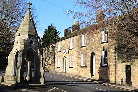
Dronfield

Dronfield is a town in North East Derbyshire, England, which includes Dronfield Woodhouse and Coal Aston. It lies in the valley of the River Drone between Chesterfield and Sheffield. The Peak District National Park is three miles (4.8 km) to the west. The name comes from the Old English Dranfleld, probably meaning an open land infested with drone bees.The town existed before the 1086 Domesday Book, and has a 13th-century parish church. In 1662, Charles II granted the town a market, although this later ceased. The industrial history of the town includes coal mining, the wool trade, the production of soap and steel, and engineering. Today a range of manufacturing firms still operate in the town. The stadium to the north of the town is officially "The Home of Football", providing the playing surface for Sheffield F.C., the world's oldest football club.Dronfield's population increased in the post-war years from 6,500 in 1945 to 21,261 at the 2011 Census.
Excerpt from the Wikipedia article Dronfield (License: CC BY-SA 3.0, Authors, Images).Dronfield
Green Lane, North East Derbyshire Greendale
Geographical coordinates (GPS) Address Nearby Places Show on map
Geographical coordinates (GPS)
| Latitude | Longitude |
|---|---|
| N 53.3024 ° | E -1.4664 ° |
Address
Dronfield Henry Fanshawe School
Green Lane
S18 2FZ North East Derbyshire, Greendale
England, United Kingdom
Open on Google Maps


