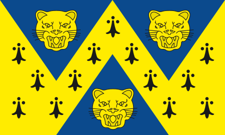
Shropshire (Detached)

Between the late 11th century and 1844, the English county of Shropshire (or Salop) possessed a large exclave within the present-day Black Country and surrounding area. This territory was gained from neighbouring Worcestershire, and the exclave's border corresponded with the medieval Manor of Hala (or Halas, Hales). Shropshire (Detached) contained the townships of (what are now known as) Halesowen, Oldbury, Warley Salop, Ridgacre, Hunnington, Romsley and Langley. The exceptions were Cradley, Lutley and Warley Wigorn, which were exclaves or enclaves still aligned with the original county. Bounded entirely by Staffordshire and Worcestershire, Hala was part of Brimstree hundred, and totally detached from the rest of Shropshire. Bridgnorth, the nearest town within the main body of Shropshire, is 16.8 miles (27.03 km) away from Halesowen, whilst the county town of Shrewsbury is 34.6 miles (55.62 km) away.In 1844, following enactment of the Counties (Detached Parts) Act 1844, Shropshire (Detached) was reunited with Worcestershire and remained within the original county until 1974. Halesowen and Oldbury are currently part of the metropolitan County of West Midlands,
Excerpt from the Wikipedia article Shropshire (Detached) (License: CC BY-SA 3.0, Authors, Images).Shropshire (Detached)
Windsor Road,
Geographical coordinates (GPS) Address Nearby Places Show on map
Geographical coordinates (GPS)
| Latitude | Longitude |
|---|---|
| N 52.45 ° | E -2.06 ° |
Address
Windsor Road
Windsor Road
B63 4BE
England, United Kingdom
Open on Google Maps


