Hohenberg (Wasgau)
Mountains and hills of Rhineland-PalatinateMountains and hills of the Palatinate ForestSüdliche Weinstraße

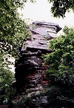
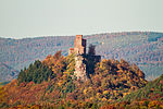
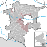
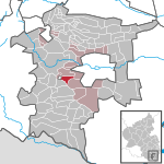
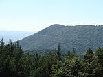
The Hohenberg is a 552 m above sea level (NN) high hill in the Palatinate Forest, in the municipalities of Birkweiler, Queichhambach and Siebeldingen. At its summit is an observation tower, a refuge hut and starting ramps for hang gliders.
Excerpt from the Wikipedia article Hohenberg (Wasgau) (License: CC BY-SA 3.0, Authors, Images).Hohenberg (Wasgau)
Hofgut Hohenberg, Annweiler am Trifels
Geographical coordinates (GPS) Address Nearby Places Show on map
Geographical coordinates (GPS)
| Latitude | Longitude |
|---|---|
| N 49.20306 ° | E 8.00528 ° |
Address
Bronzezeitliche Fliehburg Hohenberg
Hofgut Hohenberg
76855 Annweiler am Trifels
Rhineland-Palatinate, Germany
Open on Google Maps


