Marterburg

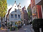
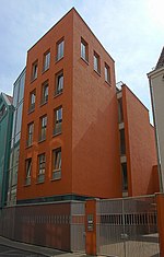
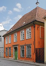
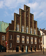
The Marterburg is a street in the Schnoor district of Bremen in the north of Germany. The name comes from Mattenburg as it was the place where the millers used to store flour in Matten (silos). The street runs from Ostertorstraße in a southwesterly direction curving slightly westwards before reaching the Tiefer near the river. Sidestreets include Kolpingstraße, Hinter der Balge and Schnoor. The street follows the old city wall which forms the rear of the houses on the eastern side, sometimes being used as part of their foundations. Many of the buildings to the south of Kolpingstraße are old listed buildings, several of which have been restored.
Excerpt from the Wikipedia article Marterburg (License: CC BY-SA 3.0, Authors, Images).Marterburg
Kolpingstraße, Bremen Mitte (Bremen-Mitte)
Geographical coordinates (GPS) Address Nearby Places Show on map
Geographical coordinates (GPS)
| Latitude | Longitude |
|---|---|
| N 53.072777777778 ° | E 8.8111111111111 ° |
Address
Kolpingstraße 19;21
28195 Bremen, Mitte (Bremen-Mitte)
Free Hanseatic City of Bremen, Germany
Open on Google Maps
