Devil's Table (Hinterweidenthal)
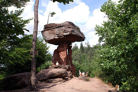
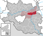
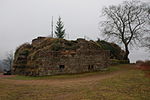
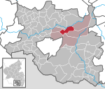
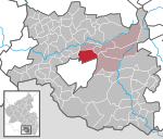
The Devil's Table (German: Teufelstisch) in Hinterweidenthal is a 14 metre high mushroom rock in the German part of the Wasgau region, the southern Palatine Forest in the state of Rhineland-Palatinate). Thanks to its location in the territory of the village of Kaltenbach - formerly part of Wilgartswiesen – it is often called the Kaltenbach Devil's Table (Kaltenbacher Teufelstisch), especially in old literary sources. It is larger and better known than the Devil's Table of Salzwoog, which is only 5 kilometres away to the southwest. The Hinterweidenthal Devil's Table is one of the landscape symbols of the Palatinate and is also the subject of a local legend. In 1947 the rock was portrayed on a Rhineland-Palatinate postage stamp.
Excerpt from the Wikipedia article Devil's Table (Hinterweidenthal) (License: CC BY-SA 3.0, Authors, Images).Devil's Table (Hinterweidenthal)
Im Handschuhteich, Hauenstein
Geographical coordinates (GPS) Address External links Nearby Places Show on map
Geographical coordinates (GPS)
| Latitude | Longitude |
|---|---|
| N 49.194902777778 ° | E 7.7437611111111 ° |
Address
Teufelstisch
Im Handschuhteich
66999 Hauenstein
Rhineland-Palatinate, Germany
Open on Google Maps


