New Copenhagen
Danish history stubsHistory of Copenhagen

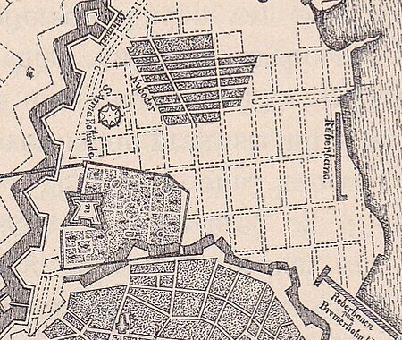
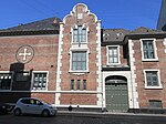
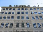
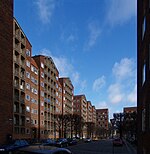
New Copenhagen (Danish: Ny København) or St. Ann's Town (Danish: Sankt Annæ By) was a 17th-century expansion of fortified Copenhagen, Denmark. The original plan for the area, from 1649, was later abandoned. It now comprises neighbourhoods and localities such as Frederiksstaden, the Nyboder neighbourhood, Nyhavn, Larsens Plads and Kongens Nytorv.
Excerpt from the Wikipedia article New Copenhagen (License: CC BY-SA 3.0, Authors, Images).New Copenhagen
Klerkegade, Copenhagen Indre By
Geographical coordinates (GPS) Address Nearby Places Show on map
Geographical coordinates (GPS)
| Latitude | Longitude |
|---|---|
| N 55.6863 ° | E 12.5855 ° |
Address
Klerkegade
Klerkegade
1308 Copenhagen, Indre By
Capital Region of Denmark, Denmark
Open on Google Maps


