Doupov Mountains
Cenozoic volcanoesChomutov DistrictGeography of the Karlovy Vary RegionGeography of the Ústí nad Labem RegionKarlovy Vary District ... and 6 more
Karlovy Vary Region geography stubsLouny DistrictMountain ranges of the Czech RepublicStratovolcanoesVolcanoes of the Czech RepublicÚstí nad Labem Region geography stubs

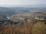
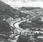
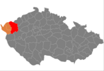
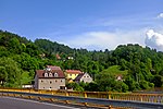
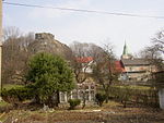
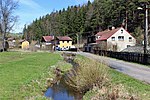
Doupov Mountains (Czech: Doupovské hory, German: Duppauer Gebirge) is a cenozoic volcanic mountain range with the typical structure of stratovolcano. The centre of the stratovolcano was in the place of a former town of Doupov. The highest mountain is Hradiště (934 metres), the lowest point is by the river Ohře near Kadaň (cca 275 metres). In 1945, most of the German population was expelled so that Doupov Mountains became almost completely unpopulated. It became an Army Training Area in 1953, and currently serves this purpose for NATO forces.
Excerpt from the Wikipedia article Doupov Mountains (License: CC BY-SA 3.0, Authors, Images).Doupov Mountains
Cesta na Bučinu, Doupovské Hradiště Doupovské Hradiště
Geographical coordinates (GPS) Address Nearby Places Show on map
Geographical coordinates (GPS)
| Latitude | Longitude |
|---|---|
| N 50.25 ° | E 13 ° |
Address
Pod Bučinou
Cesta na Bučinu
362 72 Doupovské Hradiště, Doupovské Hradiště
Northwest, Czechia
Open on Google Maps
