Amt Wachsenburg
Ilm-KreisMunicipalities in ThuringiaSaxe-Coburg and GothaThuringia geography stubs

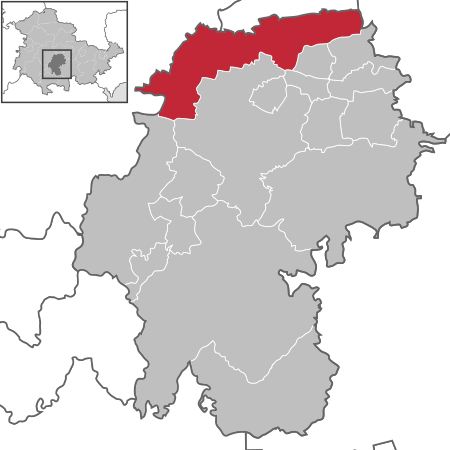
Amt Wachsenburg is a municipality in the district Ilm-Kreis, in Thuringia, Germany. The municipality is named after the Wachsenburg Castle which is located in its center. It was formed on 31 December 2012 from the former municipalities Wachsenburggemeinde and Ichtershausen. The former municipality Kirchheim was merged into Amt Wachsenburg in January 2019, and Rockhausen in December 2019. It consists of the villages Bechstedt-Wagd, Bittstädt, Eischleben, Haarhausen, Holzhausen, Ichtershausen, Kirchheim, Rehestädt, Rockhausen, Röhrensee, Sülzenbrücken, Thörey and Werningsleben.
Excerpt from the Wikipedia article Amt Wachsenburg (License: CC BY-SA 3.0, Authors, Images).Amt Wachsenburg
Straße der Deponie, Amt Wachsenburg
Geographical coordinates (GPS) Address Nearby Places Show on map
Geographical coordinates (GPS)
| Latitude | Longitude |
|---|---|
| N 50.866666666667 ° | E 10.916666666667 ° |
Address
Straße der Deponie
Straße der Deponie
99334 Amt Wachsenburg (Rehestädt)
Thuringia, Germany
Open on Google Maps


