Mudford
Civil parishes in SomersetUse British English from January 2018Villages in South Somerset

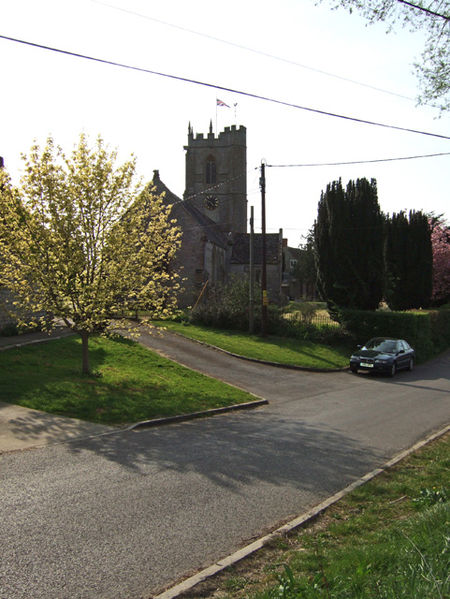
Mudford is a village and parish in Somerset, England, situated 3 miles (4.8 km) from Yeovil in the South Somerset district on the River Yeo. The village has a population of 696. The parish includes the hamlets of Mudford Sock, West Mudford and Up Mudford. The village lies on the Monarch's Way, a 615 miles (990 km) long-distance footpath that approximates the escape route taken by King Charles II in 1651 after being defeated in the Battle of Worcester.
Excerpt from the Wikipedia article Mudford (License: CC BY-SA 3.0, Authors, Images).Mudford
Hales Meadow,
Geographical coordinates (GPS) Address Nearby Places Show on map
Geographical coordinates (GPS)
| Latitude | Longitude |
|---|---|
| N 50.9733 ° | E -2.6066 ° |
Address
Hales Meadow
Hales Meadow
BA21 5TB
England, United Kingdom
Open on Google Maps


