Flintshire (historic)

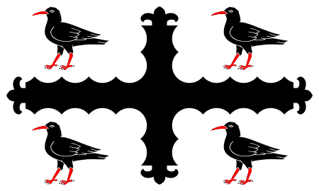
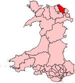
Until 1974, Flintshire (Welsh: Sir y Fflint), also known as the County of Flint, was an administrative county in the north-east of Wales, later classed as one of the thirteen historic counties of Wales. Most of what was Flintshire was along the north-east coast of Wales, however the county was notable for having one of the few large county exclaves, the English Maelor (Maelor Saesneg), to survive the Counties (Detached Parts) Act 1844. The administrative county of Flint was abolished under the Local Government Act 1972 on 1 April 1974, and became part of the new administrative area of Clwyd. The exclaves became part of Wrexham Maelor district – other parts formed the districts of Alyn and Deeside, Delyn and Rhuddlan. A unitary authority, also named Flintshire, was formed in 1996 under the Local Government (Wales) Act 1994, consisting only of the Alyn and Deeside and Delyn districts – the Wrexham Maelor parts now form part of Wrexham County Borough, with the former Rhuddlan district forming the northernmost part of the current Denbighshire unitary authority.
Excerpt from the Wikipedia article Flintshire (historic) (License: CC BY-SA 3.0, Authors, Images).Flintshire (historic)
Bryntirion Road,
Geographical coordinates (GPS) Address Nearby Places Show on map
Geographical coordinates (GPS)
| Latitude | Longitude |
|---|---|
| N 53.25 ° | E -3.1666666666667 ° |
Address
Hen Blas
Bryntirion Road
CH6 6DR , Bagillt
Wales, United Kingdom
Open on Google Maps


