Citadel of Liège

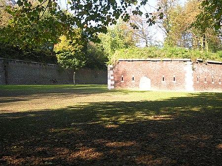
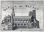
The Citadel of Liège was the central fortification of the strategic Belgian city of Liège, Wallonia until the end of the 19th century. It is located in the Sainte-Walburge neighborhood, 111 metres (364 ft) above the Meuse valley. The first citadel was built on the heights overlooking the city in 1255. It was rebuilt in a pentagonal shape by Prince-Bishop Maximilian Henry of Bavaria in 1650. This fortress was destroyed by France shortly afterwards, then rebuilt in 1684. During the Napoleonic Wars, it was given five bastions in the style of Vauban. By the late 19th century the citadel had become obsolete as a fort, replaced by the twelve forts of the Fortified Position of Liège, though it continued in use as a barracks and as a command post for the Fortified Position, contributing to the country's National Redoubt. In the 1970s the citadel was largely destroyed by the construction of a hospital on the site. The southern walls remain. An area on the north side is a memorial to Belgians executed in the citadel by German occupiers in World Wars I and II, while 20th-century bunkers remain on the south side.
Excerpt from the Wikipedia article Citadel of Liège (License: CC BY-SA 3.0, Authors, Images).Citadel of Liège
Boulevard du Troisième Génie, Liège
Geographical coordinates (GPS) Address Nearby Places Show on map
Geographical coordinates (GPS)
| Latitude | Longitude |
|---|---|
| N 50.652 ° | E 5.578 ° |
Address
Hôpital de la Citadelle (CHR)
Boulevard du Troisième Génie
4000 Liège
Liège, Belgium
Open on Google Maps


