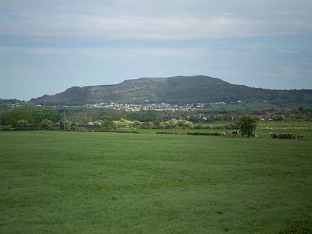
Moel Hiraddug
Clwyd geography stubsHillforts in DenbighshireMountains and hills of Denbighshire

Moel Hiraddug, also known as Y Foel, is a hill fort and hill in the Clwydian Range of north-east Wales. The northern part of the hill has been eaten away by limestone quarrying. An Iron Age hillfort crowns the hill, called Moel Hiraddug. Its ridge runs North-South and it lies above the village of Dyserth. The views from the top are extensive and include Snowdonia. It is 265 metres (869 feet) above sea level.
Excerpt from the Wikipedia article Moel Hiraddug (License: CC BY-SA 3.0, Authors, Images).Moel Hiraddug
Cwm Road,
Geographical coordinates (GPS) Address Nearby Places Show on map
Geographical coordinates (GPS)
| Latitude | Longitude |
|---|---|
| N 53.2925 ° | E -3.4064 ° |
Address
Ogof Gwen Goch
Cwm Road
LL18 5SD , Cwm
Wales, United Kingdom
Open on Google Maps


