Kalenberg, Overijssel
Pages with non-numeric formatnum argumentsPopulated places in OverijsselSteenwijkerland

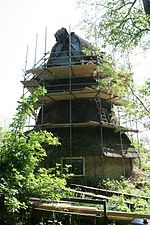
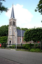
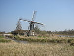
Kalenberg (Low Saxon: Kaelebarg) is a tourist hamlet within the De Weerribben-Wieden National Park in the Dutch province of Overijssel. The hamlet belongs to the municipality of Steenwijkerland. It was first mentioned in 1845 as Kalemberg, and means "bare hill". Kalenberg started as a peat excavation village. Later, it became an agricultural community. In 1840, it was home to 272 people. Nowadays, the economy is mainly based on tourism due to its location inside the Weerribben-Wieden National Park.
Excerpt from the Wikipedia article Kalenberg, Overijssel (License: CC BY-SA 3.0, Authors, Images).Kalenberg, Overijssel
Hoofdstraat, Steenwijkerland
Geographical coordinates (GPS) Address Nearby Places Show on map
Geographical coordinates (GPS)
| Latitude | Longitude |
|---|---|
| N 52.8084 ° | E 5.9173 ° |
Address
Hoofdstraat 49
8376 HD Steenwijkerland
Overijssel, Netherlands
Open on Google Maps


