Matlock, Derbyshire

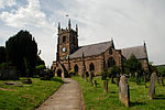
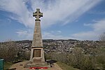
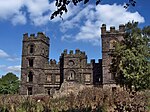
Matlock is the county town of Derbyshire, England. It is in the south-eastern part of the Peak District, with the National Park directly to the west. The town is twinned with the French town of Eaubonne. The former spa resort of Matlock Bath lies immediately south of the town on the A6. The civil parish of Matlock Town had a population in the 2011 UK census of 9,543.Matlock is nine miles (14 km) south-west of Chesterfield and in easy reach of the cities of Derby (19 miles), Sheffield (20 miles) and Nottingham (29 miles); the Greater Manchester conurbation is 30 miles away. Matlock is within the Derbyshire Dales district, which also includes the towns of Bakewell and Ashbourne, as well as Wirksworth. The headquarters of Derbyshire County Council are in the town.
Excerpt from the Wikipedia article Matlock, Derbyshire (License: CC BY-SA 3.0, Authors, Images).Matlock, Derbyshire
Lilybank Close, Derbyshire Dales Matlock Town
Geographical coordinates (GPS) Address Nearby Places Show on map
Geographical coordinates (GPS)
| Latitude | Longitude |
|---|---|
| N 53.14 ° | E -1.55 ° |
Address
Lilybank Close
Lilybank Close
DE4 3EH Derbyshire Dales, Matlock Town
England, United Kingdom
Open on Google Maps


