Middlesbrough

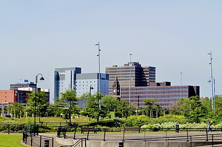
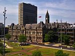
Middlesbrough ( MID-əlz-brə) is a town in the Middlesbrough unitary authority borough of North Yorkshire, England. The town lies near the mouth of the River Tees and north of the North York Moors National Park. The built-up area had a population of 148,215 at the 2021 UK census. It is the largest town of the wider Teesside area, which had a population of 376,633 in 2011.Until the early 1800s, the area was rural farmland in the historic county of Yorkshire. The town was a planned development which started in 1830, based around a new port with coal and later ironworks added. Steel production and ship building began in the late 1800s, remaining associated with the town until the post-industrial decline of the late twentieth century. Trade (notably through ports) and digital enterprise sectors contemporarily contribute to the local economy, Teesside University and Middlesbrough College to local education. Middlesbrough was made a municipal borough in 1853. When elected county councils were created in 1889, Middlesbrough was considered large enough to provide its own county-level services and so it became a county borough, independent from North Riding County Council. The borough of Middlesbrough was abolished in 1968 when the area was absorbed into the larger County Borough of Teesside. Six years later in 1974 Middlesbrough was re-established as a borough within the new county of Cleveland. Cleveland was abolished in 1996, since when Middlesbrough has been a unitary authority within the ceremonial county of North Yorkshire.
Excerpt from the Wikipedia article Middlesbrough (License: CC BY-SA 3.0, Authors, Images).Middlesbrough
Dundas Street,
Geographical coordinates (GPS) Address Nearby Places Show on map
Geographical coordinates (GPS)
| Latitude | Longitude |
|---|---|
| N 54.5767 ° | E -1.2355 ° |
Address
Dundas Shopping Centre
Dundas Street
TS1 1LN , Middlehaven
England, United Kingdom
Open on Google Maps


