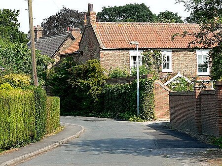
Bubwith
Civil parishes in the East Riding of YorkshireOpenDomesdayUse British English from November 2014Villages in the East Riding of Yorkshire

Bubwith is a village and civil parish in the East Riding of Yorkshire, England. The village is situated about 6 miles (10 km) north-east of Selby, and 12 miles (19 km) south-east of York. It is situated on the east bank of the River Derwent, west of which is the Selby District of North Yorkshire. It lies between Selby and Market Weighton on the A163 road. The civil parish is formed by the villages of Bubwith and Breighton and the hamlets of Gunby and Willitoft. According to the 2011 UK census, Bubwith parish had a population of 1,225, an increase on the 2001 UK census figure of 1,104.
Excerpt from the Wikipedia article Bubwith (License: CC BY-SA 3.0, Authors, Images).Bubwith
Church Street,
Geographical coordinates (GPS) Address Phone number Website Nearby Places Show on map
Geographical coordinates (GPS)
| Latitude | Longitude |
|---|---|
| N 53.81807 ° | E -0.919274 ° |
Address
Bubwith Community Primary School
Church Street
YO8 6LW , Bubwith
England, United Kingdom
Open on Google Maps


