Baginton
OpenDomesdayVillages in Warwickshire

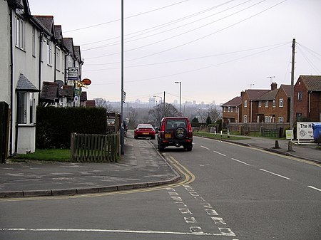
Baginton is a village and civil parish in the Warwick district of Warwickshire, England, and has a common border with the City of Coventry / West Midlands county. With a population of 801 (2001 Census), Baginton village is 4 miles (6.4 km) south of central Coventry, 4.5 miles (7.2 km) northeast of Kenilworth (its post town) and 7 miles (11 km) north of Leamington Spa. The population had reduced slightly to 755 at the 2011 Census. The Lucy Price playing field is situated centrally in the village.
Excerpt from the Wikipedia article Baginton (License: CC BY-SA 3.0, Authors, Images).Baginton
Silver Eagle Way,
Geographical coordinates (GPS) Address Nearby Places Show on map
Geographical coordinates (GPS)
| Latitude | Longitude |
|---|---|
| N 52.37 ° | E -1.49 ° |
Address
Silver Eagle Way
Silver Eagle Way
CV8 3AU
England, United Kingdom
Open on Google Maps


