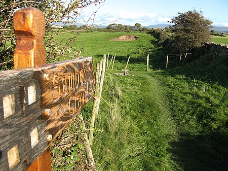
Sambo's Grave
1736 deathsBurials in LancashireEnglish slavesEngvarB from December 2017History of Lancaster ... and 1 more
Year of birth unknown

Sambo's Grave is the burial site of a black cabin boy or slave on unconsecrated ground in a field near the small village of Sunderland Point, Lancashire, England. Sunderland Point was a port, serving cotton, sugar and slave ships from the West Indies and North America, which declined after Glasson Dock was opened in 1787. It is a very small community only accessible via a narrow road, which crosses a salt marsh and is cut off at high tide.
Excerpt from the Wikipedia article Sambo's Grave (License: CC BY-SA 3.0, Authors, Images).Sambo's Grave
The Lane, Lancaster
Geographical coordinates (GPS) Address Nearby Places Show on map
Geographical coordinates (GPS)
| Latitude | Longitude |
|---|---|
| N 53.9963 ° | E -2.8827 ° |
Address
The Lane
LA3 3HS Lancaster
England, United Kingdom
Open on Google Maps


