Mission Bay (San Francisco)
Bays of San Francisco BayEstuaries of CaliforniaLandforms of San FranciscoLandforms of the San Francisco Bay AreaSan Francisco Bay ... and 1 more
Wetlands of California

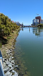
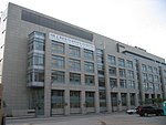
Mission Bay was a bay and the estuary of Mission Creek, on the west shore of San Francisco Bay, between Steamboat Point and Point San Quentin or Potrero Point. It is now mostly filled in and is the location of the Mission Bay neighborhood of San Francisco.
Excerpt from the Wikipedia article Mission Bay (San Francisco) (License: CC BY-SA 3.0, Authors, Images).Mission Bay (San Francisco)
Maria-Birnbaum-Straße, Dasing
Geographical coordinates (GPS) Address Phone number Website Nearby Places Show on map
Geographical coordinates (GPS)
| Latitude | Longitude |
|---|---|
| N 37.77018 ° | E -122.39091 ° |
Address
Mykonos (Klostergaststätte)
Maria-Birnbaum-Straße 51
86577 Dasing
Bayern, Deutschland
Open on Google Maps


