Chester Rural District
Districts of England abolished by the Local Government Act 1972Districts of England created by the Local Government Act 1894History of CheshireRural districts of EnglandUse British English from August 2012

Chester was a rural district of Cheshire, England, from 1894 to 1974. It was located near the city and county borough of Chester but did not include it. The district saw various boundary changes throughout its life. It included the small civil parish of Chester Castle, an exclave of the rural district within the boundaries of the county borough of Chester.
Excerpt from the Wikipedia article Chester Rural District (License: CC BY-SA 3.0, Authors, Images).Chester Rural District
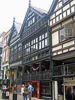
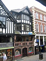
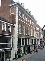
Trinity Street, Chester Handbridge
Geographical coordinates (GPS) Address Nearby Places Show on map
Geographical coordinates (GPS)
| Latitude | Longitude |
|---|---|
| N 53.191 ° | E -2.895 ° |
Address
Crowne Plaza
Trinity Street
CH1 2BD Chester, Handbridge
England, United Kingdom
Open on Google Maps


