Rietmolen
BerkellandGelderland geography stubsPopulated places in Gelderland

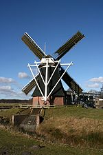
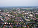
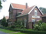
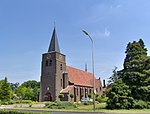
Rietmolen is a village in the eastern Netherlands. It is located in the municipality of Berkelland, Gelderland. It was first mentioned in the 1630s as Rytmuelerbrugh, and means "windmill along a stream". Since 1712, the inn Reetmölle was used as a Catholic church. In 1835, a real church was built. In 1931, construction began on a new church. It was finished in 1933, and has a 45 metres (148 ft) tall slender tower which resembles a minaret.
Excerpt from the Wikipedia article Rietmolen (License: CC BY-SA 3.0, Authors, Images).Rietmolen
St. Isidorushoeveweg, Berkelland
Geographical coordinates (GPS) Address Nearby Places Show on map
Geographical coordinates (GPS)
| Latitude | Longitude |
|---|---|
| N 52.15 ° | E 6.6666666666667 ° |
Address
St. Isidorushoeveweg 8
7165 AX Berkelland
Gelderland, Netherlands
Open on Google Maps


